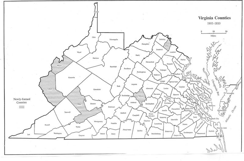
Virginia-Map.Com – Virginia Maps 1800 – Virginia is one of the thirteen colonies which were one of the first United States states, is located in the country’s southeast corner. It is bounded by Maryland and District of Columbia to north and northeast, North Carolina and…
