Blank Map of Virginia Regions
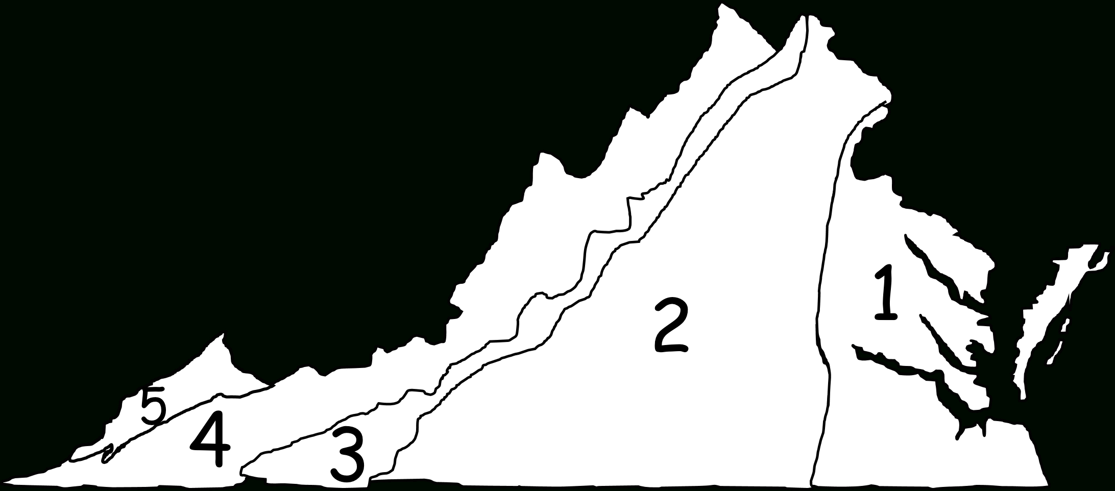
Virginia Map | Blank Map of Virginia Regions – Virginia is a state full of diverse landscapes and unique regions waiting to be explored. From the stunning mountains in the west to the picturesque beaches in the east, there is something for everyone to enjoy in the Old Dominion State. Whether you are a history … Read more